ESRI ٍSea Level Simulation when Earth slows down its spin speed

In the summer of 2010 Earth Scientific Research Institute (ESRI) published a paper on the impact of Earth spin speed change. ESRI have also shared a simulator of changed shore lines as a result of slower spin speeds. More on ESRI site

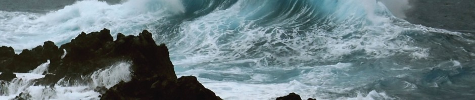
Earlier on and in December 2009 I published my book on Earth Changes.  At such time I introduced a new proposal to explain what makes Earth to spin about its axis and why it could speed up and slow down its spin. More you may find on the page titled Earth Spin on this site. I also explained that a different spin speed will certainly change the Sea Level and Earth geography as we currently now it, and could explain why there are many cities submerged by sea at the Mediterranean basin due to successive increase of sea level over the last 3 Change Cycles; each lasting 3,562 years and each having different spin speed.

About T.Niazi

Tarek S. Niazi holds a Bachelor degree and a Master degree in Electrical Engineering and Computer Science respectively. He worked at IBM for twenty-five years in various positions. As an entrepreneur, he established and ran investment, consulting, and project integration services companies. Niazi’s interests run the gamut from geology to history, astronomy to theology, and most of the sciences, including physics. His global travels have given him a deep appreciation for the mosaic of life and culture on Earth.
This entry was posted in Uncategorized. Bookmark the permalink.

Leave a Reply

Fill in your details below or click an icon to log in:

WordPress.com Logo

You are commenting using your WordPress.com account. Log Out /  Change )

Facebook photo

You are commenting using your Facebook account. Log Out /  Change )

Connecting to %s